

We are having a very quick third dig at Bellhouse Basin. To read about the previous two, click here and here. To see a report on Look North, click here.
York Archaeology were carrying this out as part of our Staveley Town Deal project.
The idea was to discover exactly what’s there to help the design of the basin when it is restored next year.
These photos show the progress.
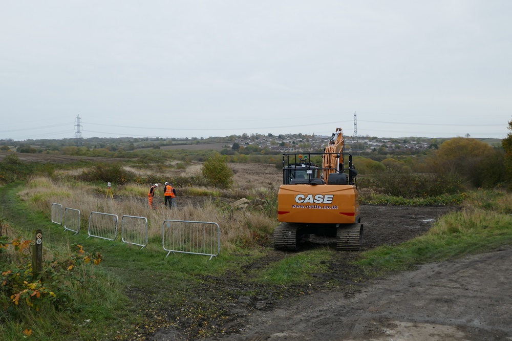
Monday, October 21st 2024. The clearance of the site started.
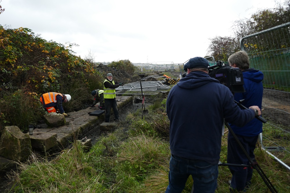
Wednesday, October 23rd 2024. ITVX were there to visit the site. Here Richard Kniseley-Marpole was explaining what they were doing.
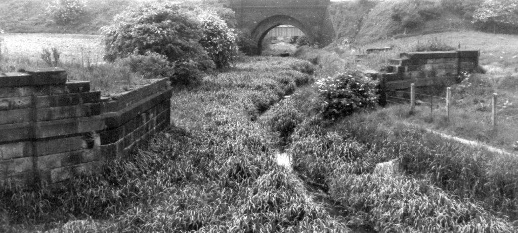
They were excavating the remains of the old Bellhouse Railway bridge.
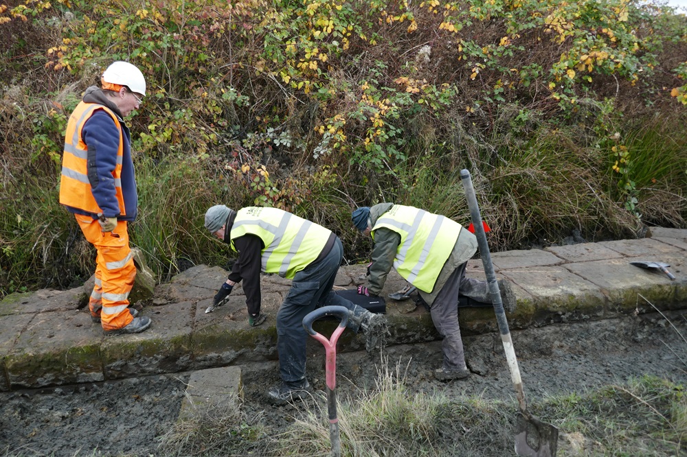
They were clearing the bridge abutment wall whilst standing on the old towpath.
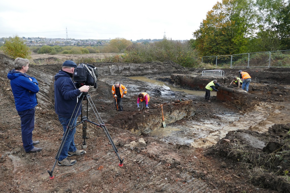
A few metres away they filmed at the site of the basin itself.
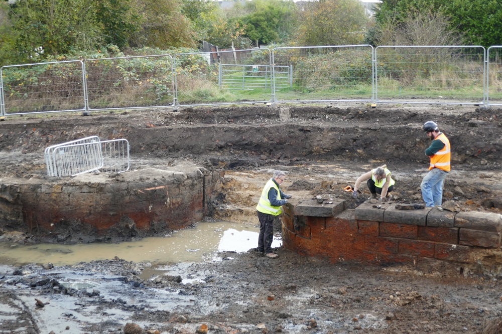
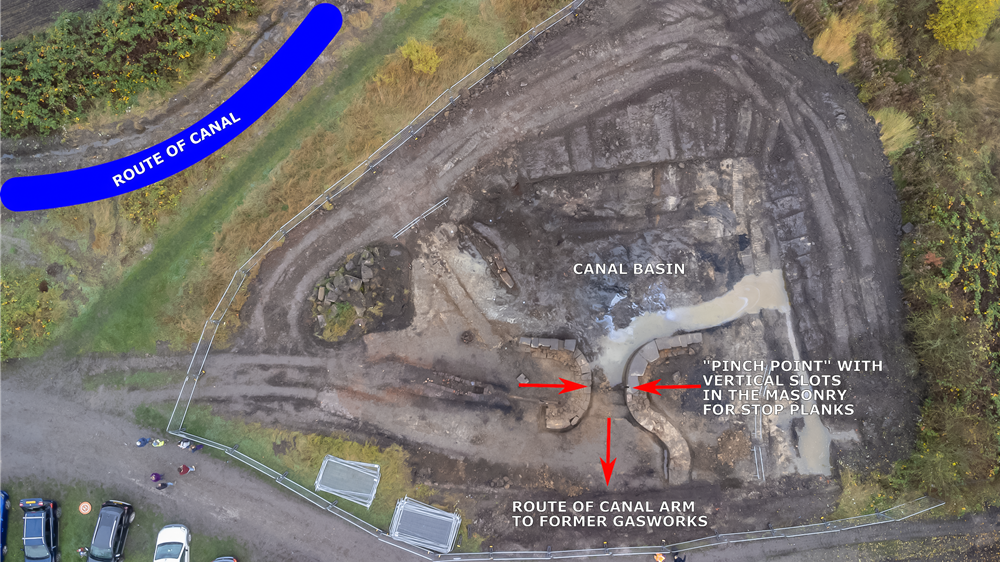
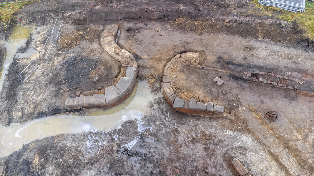
The walls of the narrows at the entrance of the side canal arm had been cleared.
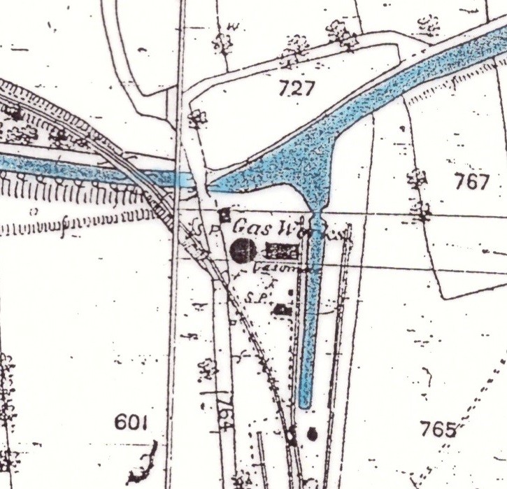
This 1880 map clearly shows the railway bridge on the left and the basin and narrows on the right.
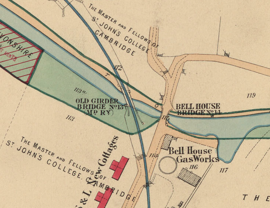
This map is from 1992.
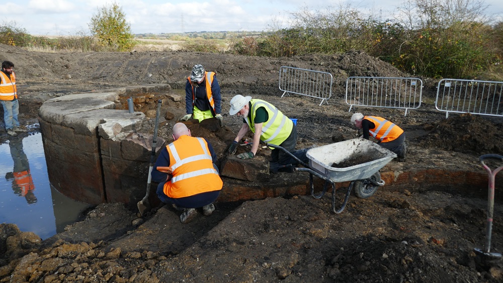
Thursday, October 24th 2024. The wall back to where the side arm widened out had been cleared.
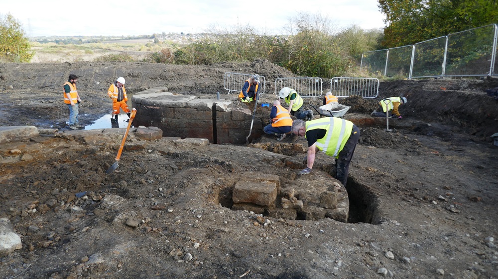
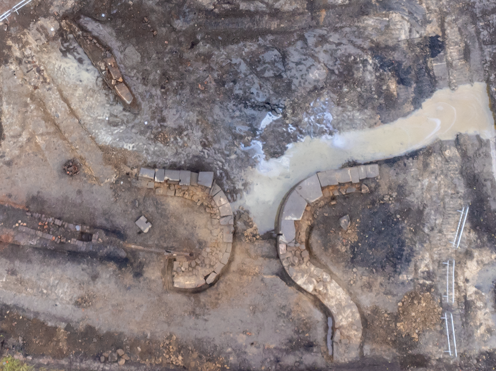
On the other side, it just seemed to curl back round.
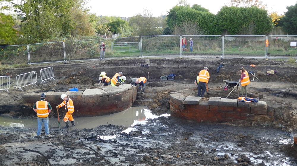
This shows it very clearly.
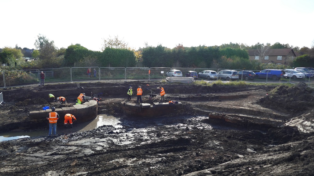
In this shot, the side wall of the basin was visible on the right.
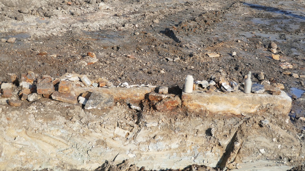
There were a few minor finds.
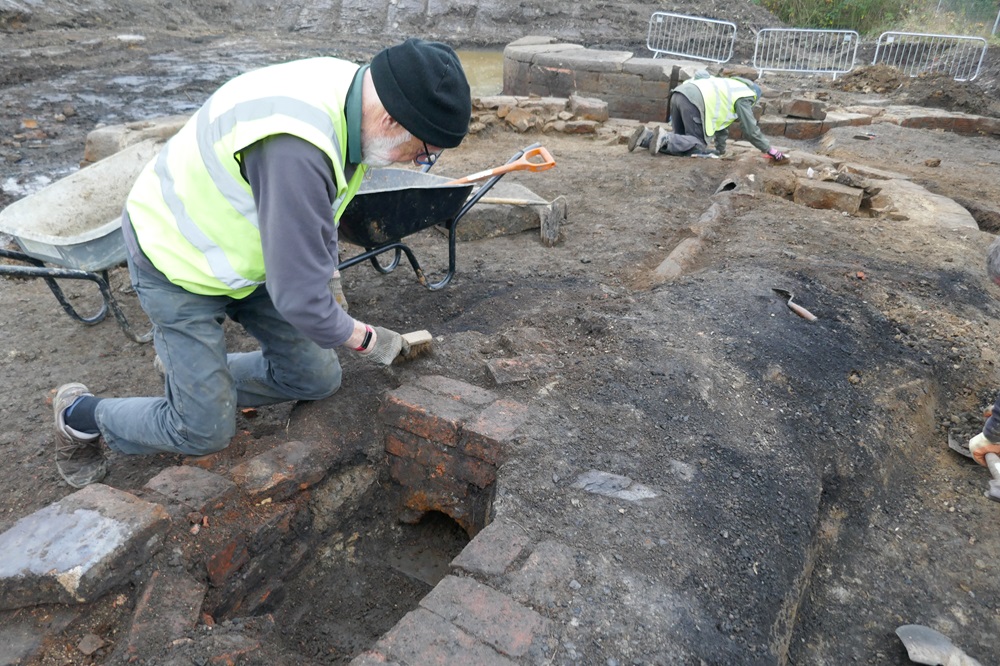
Friday, October 25th 2024. This channel was discovered leading into a cast iron pipe. It may have been a land drain.
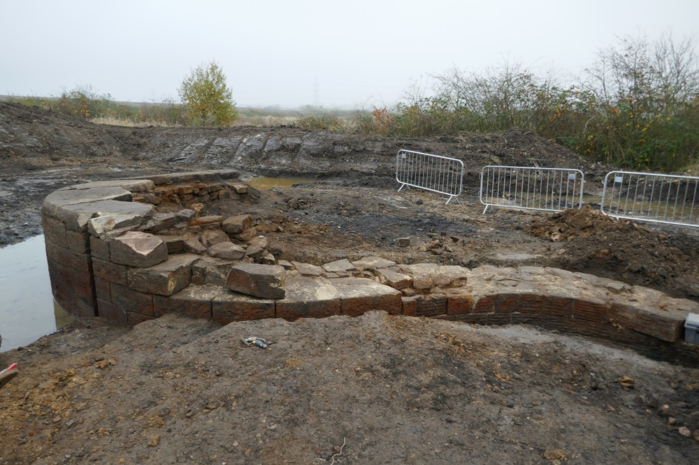
The eastern wall of the side arm had been cleared thoroughly. You could see the slot for stop planks at the narrows.
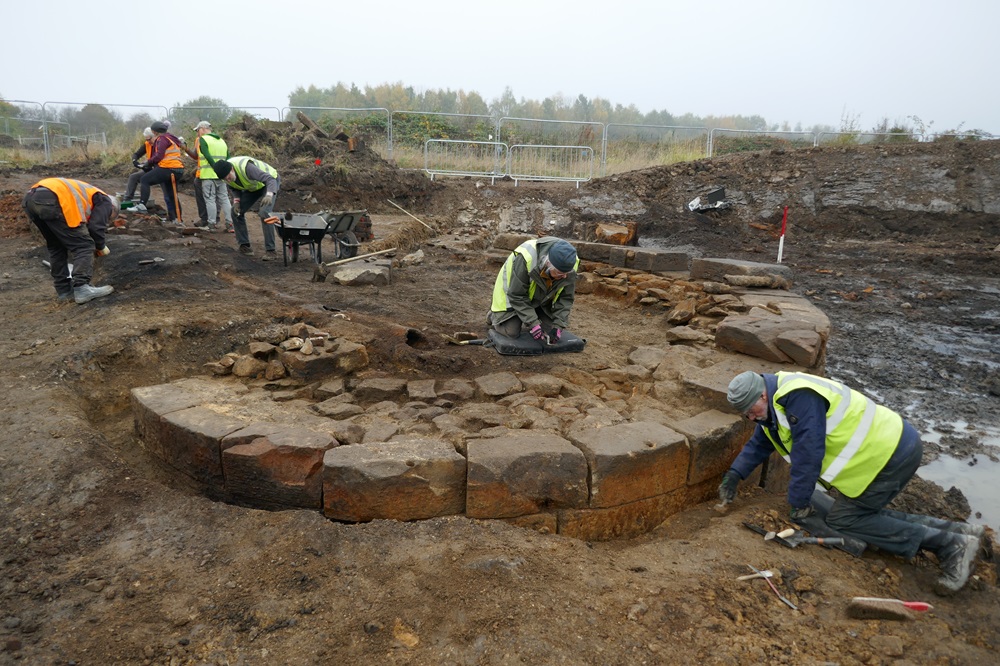
Work was continuing on the western wall. You could see the other end of the cast iron pipe.
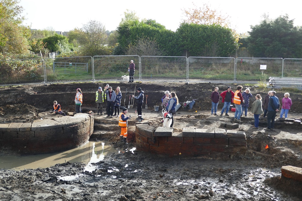
Saturday, October 26th 2024. The Open Day attracted about 250 people.
Richard and Angela Knisely-Marpole, who were on both of our previous digs on this site, attended every day.
Richard took some superb photographs, click here. We have put some of them below.
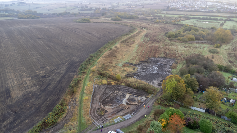
Bellhouse Basin is in the foreground with the route of the canal snaking across Staveley Puddlebank.
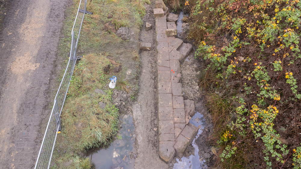
This shows the abutment wall of the railway bridge. You can clearly see the pairs of holes believed to have been to bolt down metal plates supporting the girder bridge. The towpath is to the left of the wall.
To see the Wobbly Runner’s video about this, click here.
To see the Court Above The Cut video about this, click here.