8th January 2013
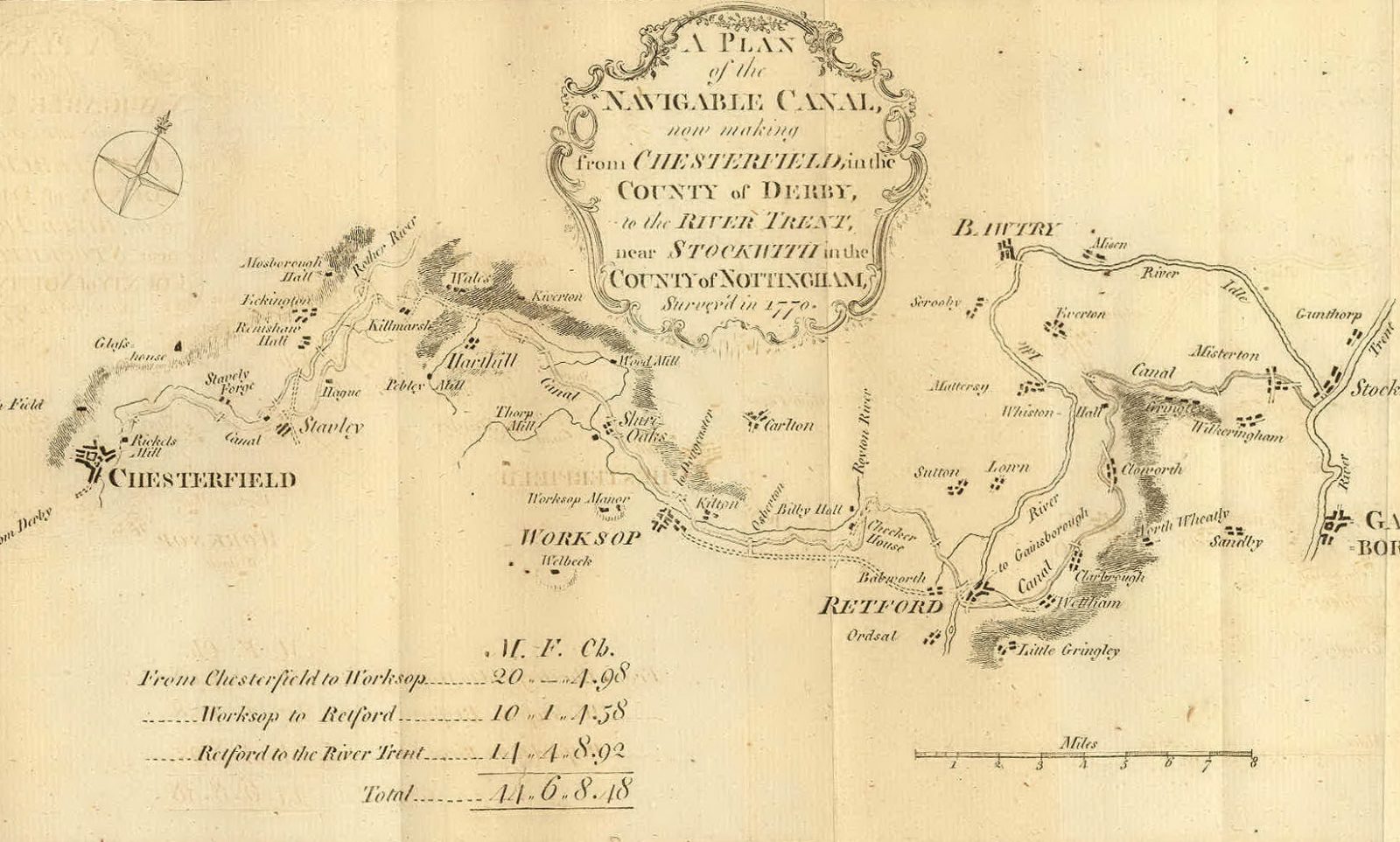
Another map has come to light.
We found this on the Granny Buttons site, click here for the story.
The map is by John Lodge and was first published in the Gentleman’s Magazine in 1772.
It is incredibly similar to the Royce map, that has been on this website for some time. Amongst differences, it does not label the Norwood Tunnel, it shows Renishaw Hall and it marks Checker House, presumably the forerunner of the Chequer’s Inn. As is often the case in old maps, spellings vary; Staveley is spelt Stavely and Stavley. Kiveton is written as Kiverton, something that still happens all too often.
If you right click on the image below and then click View image, you will see a larger version. If you click on the enlarged version, it will enlarge even more.
To see our other historical maps, click here.